UN
4 Llanover Road
£ 152,000
Description
We don't have a Description for this property.
- Bedrooms
- 3
- Bathrooms
- 0
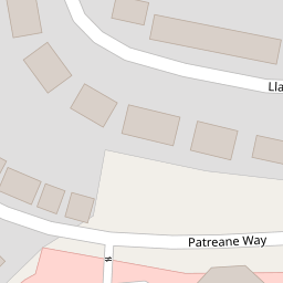
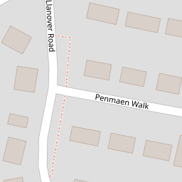
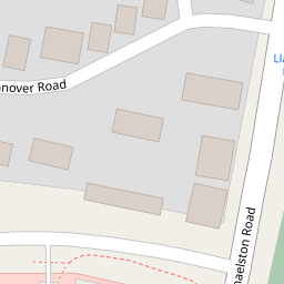
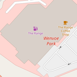


Leaflet © OpenStreetMap contributors
The heatmap indicates the level of crime in the area. The color of the heatmap indicates the crime severity and recency.
Metrics Year-on-Year
- Average area value
- 226,661.00 £Increased by 12.63 %
- Average area rental value
- 1,024.00 £/moDecreased by 3.67 %
- Est rental Yield
- 5.42 %Decreased by 14.51 %
- Crime Rate
- 10.00 %Unchanged by 0.00 %
from 201,237.00 £
from 1,063.00 £/mo
from 6.34 %
from 10.00 %
Nearby Schools
| Name | Type | Ofsted | Distance |
|---|---|---|---|
| Ely And Caerau Children'S Centre | Welsh Establishment | 0.48 KM | |
| St Fagans C.I.W. Primary School | Welsh Establishment | 0.56 KM | |
| Mary Immaculate R.C. High School | Welsh Establishment | 1.42 KM | |
| St Francis V.A. Primary School | Welsh Establishment | 1.94 KM | |
| Gwenfo C.I.W. Primary | Welsh Establishment | 2.25 KM |
Images
Nearby Streets
| Name | Average Price | Average Sqft | Distance |
|---|---|---|---|
| Caenewydd Close | £ 265,000 | 0 | 0.00 KM |
| A4232 | £ 185,000 | 0 | 0.00 KM |
| Queens Drive | £ 0 | 0 | 0.00 KM |
| Green Farm Road | £ 179,988 | 0 | 0.00 KM |
| Nant-y-Drope | £ 290,000 | 0 | 0.00 KM |
Nearby Transport
| Name | NLC | TLC | Distance |
|---|---|---|---|
| Fairwater | 3873 | FRW | 4.91 KM |
| Waun-Gron Park | 3796 | WNG | 4.99 KM |
| Danescourt | 3797 | DCT | 5.36 KM |
| Radyr | 3874 | RDR | 5.84 KM |
| Llandaf | 3844 | LLN | 6.39 KM |
Nearby Listings
| Address | Price | Type | Score | Distance |
|---|---|---|---|---|
| Llanover Road, Cardiff | £ 240,000 | BUY | 5 / 10 | 0.00 KM |
| Llanover Road, Cardiff | £ 200,000 | BUY | Unknown | 0.00 KM |
| Patreane Way, Cardiff | £ 375,000 | BUY | 7 / 10 | 0.09 KM |
| Penmaen Walk, Michaelston, Cardiff CF5 4TP | £ 250,000 | BUY | 7 / 10 | 0.14 KM |
| Michaelston Road, Cardiff | £ 315,000 | BUY | 7 / 10 | 0.18 KM |
Nearby Properties
| Address | Price | Distance |
|---|---|---|
| 2a Llanover Road | £ 186,000 | 0.00 KM |
| 22 Llanover Road | £ 253,500 | 0.00 KM |
| 6 Llanover Road | £ 163,500 | 0.00 KM |
| 4 Llanover Road | £ 152,000 | 0.00 KM |
| 43 Llanover Road | £ 140,000 | 0.00 KM |